Best hiking in the United States
The United States boasts an impressive array of natural landscapes and numerous day hikes, making it challenging to determine where to embark on your adventure. This guide aims to inspire your next hiking experience throughout the country, covering highlights from National Parks to State Forests and National Monuments.
Mount Katahdin
By: Nicole from Wandering with a Dromomaniac
Mount Katahdin, found in Baxter State Park, Maine, is an essential hiking destination. As the official endpoint of the Appalachian Trail, this challenging trek requires an entire day, so it is advisable to start early and carry ample water.
The summit can be approached via various trails, but I specifically recommend the Hunt Trail. This route begins at a campground, allowing for a restful night before the ascent. As you climb, the terrain transitions from dense evergreen forests to expansive rocky fields and open plateaus.
Knife’s Edge on Katahdin
For the daring, the Knife’s Edge trail extends from the summit, offering breathtaking views. However, caution is advised as the weather conditions can change drastically and the hike is demanding. Ensure you wear reliable hiking footwear and review what to pack for the summit.
Commencing your hike before dawn allows ample time for a scenic lunch atop the mountain before your return journey. Typically, this hike takes between six to eight hours, contingent on your fitness level, and you may even witness the celebrations of AT thru-hikers completing their arduous journey of over 2,000 miles!
This experience may even ignite a desire in you to embark on your own journey along the AT.
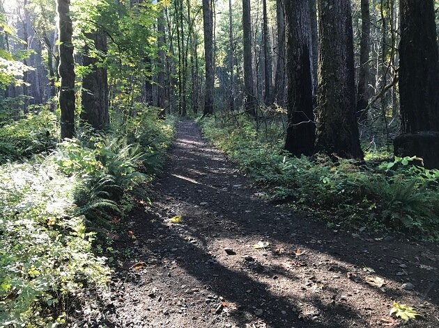
Devil’s Lake Wisconsin
By: Paulina from Paulina on the Road
For those looking to burn calories while enjoying the serenity of nature, hiking presents the ideal solution. The East Bluff section of the Ice Age Trail, adjacent to Devil’s Lake in Wisconsin, offers a unique hiking experience.
Located in Baraboo, Wisconsin, this trail provides stunning views over the cliffs of Devil’s Lake and its surroundings. While the ascent from the north shore may present challenges, an asphalt trail leads hikers up rock steps to breathtaking overlooks.
Image by Yinan Chen from Pixabay
For those determined to complete the hike, it may take up to four hours. The path to the East Bluff extends from the North Shore to Elephant Cave, where hikers experience various stunning vistas. This trail eventually connects to the Balanced Rock Trail, leading to the remarkable Devil’s Doorway Rock Formation.
Generally, these trails are best experienced during the summer and fall. Winter hiking is not advisable due to unmaintained, potentially icy conditions, and caution is necessary while traversing the rock ledges at Devil’s Doorway, given the dangers associated with falling.
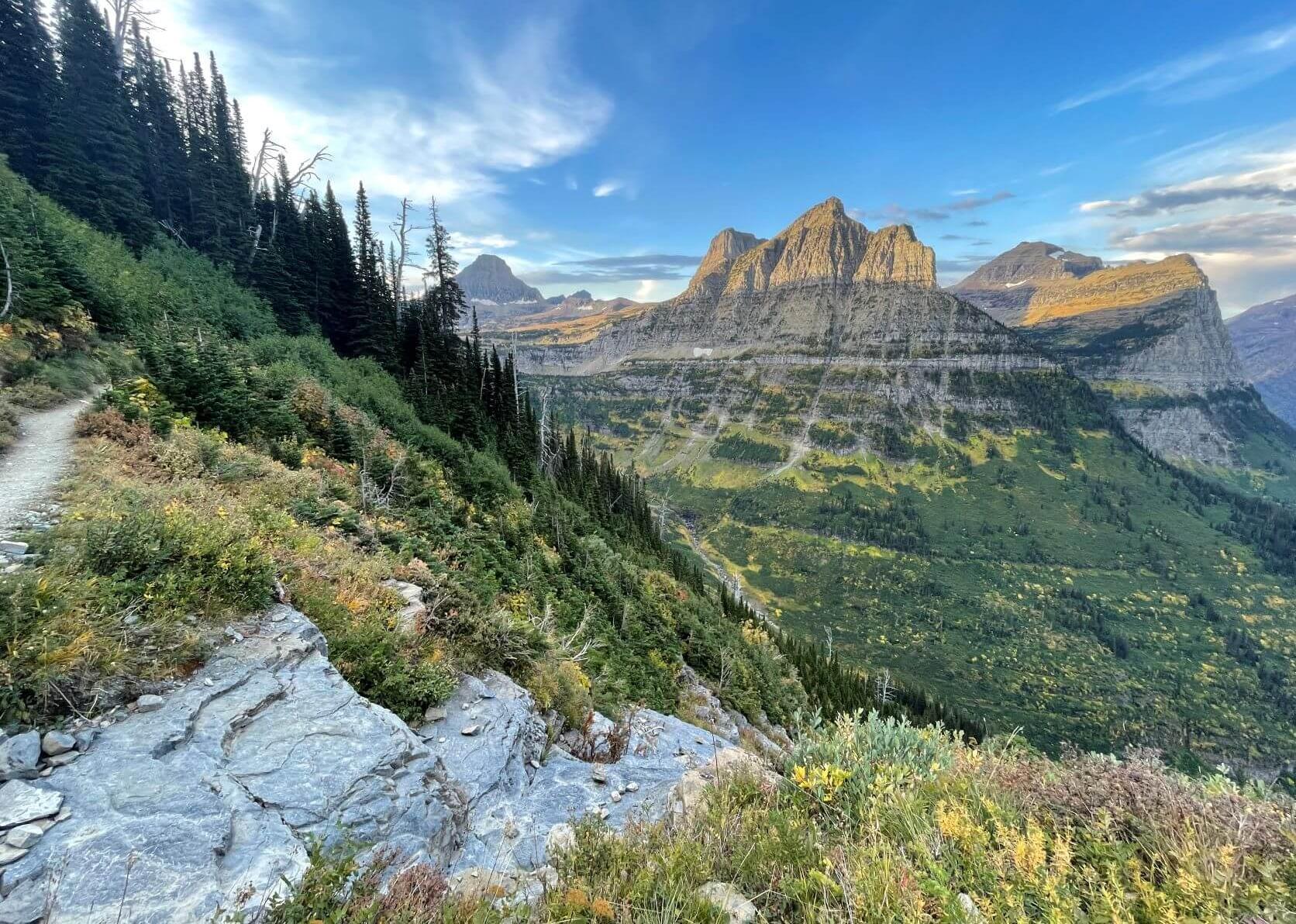
Mount Whitney
By: Allison from She Dreams of Alpine
The Mount Whitney hike is often regarded as the ultimate day hike in the United States, being the highest peak in the contiguous 48 states at 14,505 feet. Spanning 20 miles round trip with an elevation gain of 6,200 feet, it presents an opportunity for an intensely challenging yet rewarding experience.
The journey begins through the picturesque John Muir Wilderness, rich with diverse flora and fauna. For those opting to undertake this hike in a day, an early start is essential, rewarding you with stunning sunrise views. After passing several alpine lakes, you will ascend through 97 switchbacks leading to the summit. Adequate physical preparation in the weeks prior can greatly enhance your experience on this demanding section of the trail.
Best Mountains to hike
Nestled in the Sierra Nevada mountain range close to Lone Pine, CA, Mount Whitney is a sought-after hiking destination, requiring a permit for access. Each year, permits for the main hiking season are subject to a lottery, so be sure to apply early during the February to mid-March window. Any unclaimed permits from the lottery are released in April, and during the hiking season, last-minute cancellations may provide opportunities for obtaining a hike permit. For those intent on conquering Mount Whitney, early planning is advisable for the best chances of securing a permit.
Despite the physical demands and the advanced arrangements necessary to complete the Mount Whitney hike, achieving the summit and standing at the tallest point in the lower 48 states offers a sense of accomplishment that justifies all the effort invested!
Devil’s Garden Trail in Arches National Park
By: Jarrod at Ramble Around the World
Among the many stunning areas in Arches National Park, the Devil’s Garden Trail stands out as a premier hiking experience. Accessed at the end of the park’s paved roads, this trail presents two options: a 10-mile primitive loop or a 7.2-mile standard hike.
Both routes offer exceptional scenery. The primitive loop delves deeper into the striking rock formations, providing an intimate view of the La Sal Mountain Range, which remains snow-capped for much of the year. Conversely, the regular hike retraces the same path, allowing for easier navigation.
Regardless of the chosen route, hikers traverse knee-high narrow rock fins, sandy terrain, and rugged structures, encountering seven distinct arches along the way. The most renowned之一为Landscape Arch, measuring 306 feet long and only 11 feet thick, providing a unique photo opportunity.
Devil’s Garden Trail
The path to Landscape Arch is suitable for visitors of all skill levels, being mostly paved and well-maintained. However, the true adventure begins after witnessing this arch, as hikers navigate steep, narrow rock fins, ultimately reaching Navajo Arch and the spectacular Partition Arch, which offers magnificent views framed by the contrasting colors of the arch.
Hiking the Devil’s Garden Trail Utah
Continuing along the path reveals Double-O Arch and Private Arch, each boasting unique characteristics that make them worth the visit. My experience included stopping to capture photos and enjoy a meal, resulting in a hike of over 11.5 miles completed in approximately six hours. However, if you take the shorter 7.2-mile trail and maintain a brisk pace, you could finish in around three hours.
Angels Landing
By: Anna from My Travel Scrapbook
Angel’s Landing, located in Zion National Park, Utah, is both famous and notorious as one of the most challenging hikes in the United States.
Once you reach Angel’s Landing view point, admire the view then be careful on your way back to Scout’s landing.
Angel’s Landing is a daunting rocky formation, its towering cliffs reaching 100 meters high, which means that a misstep could have severe consequences. Despite past incidents, thousands attempt this renowned hike each year, emerging with stories of their adventures.
Annually, over three million visitors explore Zion National Park, making it one of the most frequented parks in the USA. Many of these visitors are drawn to Angel’s Landing, and a substantial number attempt the hike. To enhance your experience, it is advisable to set out early, parking at the designated lot and taking the shuttle to the Grotto stop, just a short distance from the trailhead.
The trek includes crossing the Virgin River and following the crowd to Scout’s Landing. This route is an out-and-back trail, meaning hikers will descend via the same pathway. The initial ascent leads into Refrigerator Canyon, culminating in the challenging Walter’s Wriggles before arriving at the critical point. At Scout’s Landing, you will decide whether to proceed along the ridge of Angel’s Landing. The path is narrow and steep, equipped with chains for assistance. Hikers should be cognizant of their fear of heights, as the ledges present steep drops. The real thrill awaits on the ridge, loaded with scrambling challenges and stunning perspectives!
Once you reach Angel’s Landing view point, admire the view then be careful on your way back to Scout’s landing.
Your overall hike could range from 3 to 6 hours, with a distance of approximately 5.5 miles. The excitement of this hike makes it one of the standout features in the US. For those still uncertain about attempting Angel’s Landing, explore eight reasons against hiking this trail.
Blue Basin Overlook Trail – Oregon
By: Jacoba at Op reis met Co
Have you ever discovered John Day Fossil Beds National Monument? This exquisite park comprises three distinct segments, with the Painted Hills Unit receiving most of the attention. However, the Sheep Rock Unit is equally enchanting and features one of Oregon’s most stunning short hikes.
The Blue Basin Overlook Trail is a 5-kilometer (3.1-mile) loop with ever-changing landscapes. To access the trailhead, head to the Blue Basin Parking Area, located off the John Day Highway, just past the visitor center.
Adhering to the signs will help direct you along the route, which starts flat before ascending to reveal striking views. You’ll transition from grassy meadows to the vibrant red hills and blue-green rock formations. Approximately a mile in, the trail reaches its final tree, leaving hikers exposed, so it is critical to carry sufficient water.
Upon reaching Blue Basin Overlook, you will be greeted by astonishing views—a truly unique natural basin nestled within the mountains with stunning blue-green cliffs!
Going back down is another highlight, the trail is winding over the hills and the views of the valley and the John Day River are absolutely gorgeous.
Upon your return, you may opt to extend your trek slightly by taking the short Islands in Time Trail, leading you into the Blue Basin. Alternatively, a left turn will quickly guide you back to the parking area.
The Blue Basin Overlook Trail typically requires about 1 to 1.5 hours to complete, and visitors may find themselves alone on the trail, as few tourists venture to the John Day Fossil Beds National Monument. However, I have no doubt that its breathtaking beauty will soon garner more attention!
Wire Pass
By: Kristin from That Traveling Family
The US Southwest is characterized by stunning landscapes and remarkable hiking opportunities, with the Wire Pass Slot Canyon hike
standing as a hidden gem. Conveniently situated between Page, AZ, home to the scenic Lake Powell, and Kanab, Utah, the Wire Pass trail offers a straightforward yet rewarding 3.4-mile out-and-back hike leading to the enchanting Buckskin Gulch confluence, or you may choose to extend your exploration deep into Buckskin Gulch.
While many tourists flock to the popular Navajo sandstone slot canyons near Page, such as Antelope Canyon, Wire Pass remains relatively untouched—at least for now. Unlike many other slot canyons in the region, no group tour is necessary for entry.
To reach Wire Pass, an SUV is recommended, as the dirt road can be uneven and may flood in sections. No advance permit is required, but plan to pay the day-use fee in cash.
The hike follows a wash most of the way, roughly a mile in, leading hikers to the slot entrance. A rocky scramble is encountered shortly after entering the slot, so be prepared with appropriate gear. An old ladder facilitates the climb, but it may prove challenging for those with mobility concerns. Nonetheless, the lower part of the slot canyon, being taller and narrower, offers a worthwhile exploration opportunity.
Shortly after exiting the Wire Pass slot, you’ll find ancient petroglyphs carved into the sandstone walls. At this point, turn back, or continue on to keep exploring Buckskin Gulch.
It is crucial to take caution when navigating slot canyons, especially with any signs of rain, as they can fill rapidly. Prior to embarking on your hike, ensure to check the weather forecast, and if inclement weather arises during your trek, retreat without delay. Nonetheless, with careful planning, this remarkable hike deserves a prime spot on any outdoor enthusiast’s list.
Reef Bay Trail
By: Kristin at Snorkel and Hike
Situated in U.S. Virgin Islands National Park on St. John, the Reef Bay Trail offers a demanding 6-mile out-and-back hike. Encompassing lush tropical jungles, historical petroglyphs, cascading waterfalls, and the remnants of a sugar mill, this trail provides ample insight into the region’s natural and cultural heritage. For those preferring an easier experience, there exists the option of a 3-mile “out-only” hike led by a park ranger with a boat pickup available at the beach turnaround point.
Parking presents a challenge for this trek, as limited spots along the roadside near the trailhead yield few opportunities. To secure a space, aim to arrive no later than 10 a.m.
Shortly after commencing this hike, you’ll encounter a lookout offering captivating views down to the ocean, destined to pique your interest for the adventure ahead. It’s important to note that the first three miles primarily descend the mountain, with a subsequent uphill return. Optionally, inquire with the Virgin Islands National Park for guided hike dates and timings.
Hiking in the US Virgin Islands
The lush and often humid tropical forest provides a picturesque backdrop, featuring some of the island’s largest trees. Approximately half a mile in from the turnaround point, a trail fork leads to a stunning waterfall, home to ancient Taino petroglyphs etched into the rocks.
After passing the waterfall trail, you will discover the remnants of a historical sugar mill near the ocean’s edge. Should you have brought swimwear, treat yourself to a refreshing dip in the crystal-clear waters before beginning the strenuous return ascent.
Though the hike is moderately difficult, it remains one of the most fulfilling and intriguing experiences in the Caribbean. Regardless of your preferred route, the Reef Bay Trail presents an unmissable opportunity for anyone exploring the Virgin Islands.
Sam’s Point
The Catskills region is a treasure trove of hiking opportunities. Among the very best single-day hikes is found at Sam’s Point Preserve, inviting outdoor enthusiasts to explore imposing ice caves and revel in views of magnificent cascading waterfalls. This experience promises to be unforgettable.
Remarkably, Sam’s Point immerses visitors in nature’s beauty—perfect for anyone seeking respite from the bustle of New York City.
Photo by Spenser Sembrat on Unsplash
From New York City, a two-and-a-half-hour train journey offers the swiftest route to this trailhead. Alternatively, a bus trip will take an extra 20 minutes. Expect to complete the out-and-back trail in approximately five hours, with a total distance of 7.4 miles.
Noteworthy highlights at Sam’s Point include:
Marveling at the stunning vistas from Sam’s Point, just a mile from the parking area, where breathtaking views of the Shawangunk Ridge and Wallkill Valley await.
Exploring the captivating ice caves, where visitors are encouraged to wear warm gear as conditions can be chilly and dark.
Strolling through the remarkable dwarf pitch pine forest.
Navigating the lofty 187-foot Verkeerderkill Falls, an experience that should not be missed.
Among these attractions, the ice caves offer a unique hiking adventure without the need for a guide. Their natural illumination adds to the magic of the location, as hikers navigate carved steps, wooden bridges, and ladders, typically taking about an hour to explore.
Ultimately, Sam’s Point presents a relatively easy hike, making it an ideal choice for those wishing to have an extraordinary experience just outside of New York City. It is also an excellent opportunity to stay active while traveling in the area. If you desire a distinctive adventure that will create cherished memories, Sam’s Point is the hike for you.
Concluding Thoughts
The myriad of incredible hiking destinations across the United States is astonishing, and it would be impossible to catalog every option. I hope this selection of some top day hikes inspires you to don your hiking pack and hit the trails.
From the East Coast to the West Coast and everywhere in between, there’s an outdoor adventure awaiting every hiker.