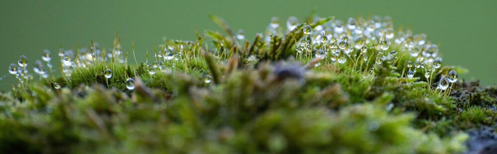
The Olympic National Forest neighbors Olympic National Park, offering equally stunning natural beauty and an essential Pacific Northwest experience. Bypass permits, crowded trails, and reservations by visiting the national forest, where a variety of hiking opportunities await, including options for your canine companions.
Accessing Marmot Pass
Finding Marmot Pass can be challenging, especially for first-time visitors. While there isn’t an easily accessible GPS location, Washington Trail Association provides accurate GPS coordinates along with detailed directions from Quilcene, WA, which are highly recommended for navigation.
Despite its remote feel, the parking lot is limited to just 15 spaces. It is advisable to arrive early, especially on weekends. Additionally, a restroom is available at the trailhead, though amenities may vary.
Optimal Hiking Time for Marmot Pass
In my experience, the best period for hiking Marmot Pass is from early spring to early summer, prior to the onset of the main tourist season. During this time, the trails are less crowded, and the limited parking becomes less competitive.
Essential Information
Permits and Passes
No permits are required to hike Marmot Pass, but a Northwest Forest Pass or an America the Beautiful National Parks Pass is necessary for parking.
Dog Policy
Marmot Pass is indeed dog-friendly! The gentle elevation gain is manageable for most dogs. For instance, our 11-year-old dog, weighing 25 pounds, easily managed the hike and enjoyed the adventure.
Elevation Gain
The elevation gain from the Marmot Pass trailhead to the summit is approximately 3,500 feet. If you choose to summit Buckhorn Mountain, an additional mile past Marmot Pass will incur an extra 900 feet of elevation gain.
Highest point: 6,000 feet
Trail Distance
The trek to Camp Mystery is about 4.5 miles one way, culminating in a total distance of approximately 6.25 miles (11.5 miles roundtrip, without any additional trails).
Difficulty Level
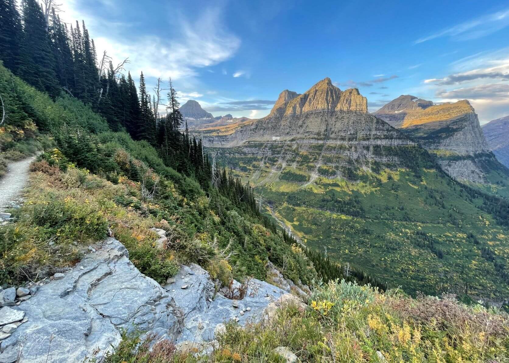
While the hike features continuous and moderate elevation gain throughout, it is classified as difficult. Upon reaching Marmot Pass, hikers can enjoy exhilarating flat trails across alpine meadows, revealing breathtaking vistas.
Water Requirements
For those planning an overnight stay at Marmot Pass, it is prudent to carry a minimum of 5 liters of water for two individuals and a dog. This amount accounts for hydration, cooking needs, and that essential morning coffee, as water sources are scarce once the final ascent begins.
Helpful Resources
Mountaineers Club – Day Hiking Olympic Peninsula
Journey to Marmot Pass
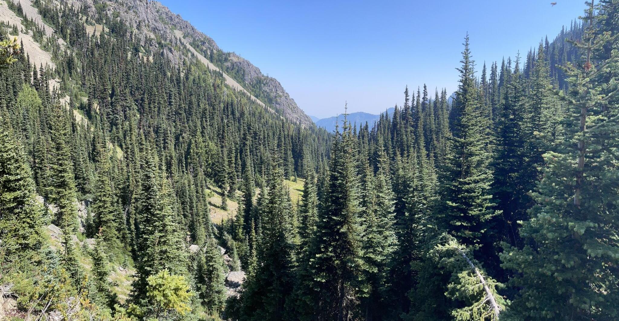
As you arrive at the trailhead, dense foliage surrounds a small gravel parking lot. However, once you embark on the trail, you’ll be enveloped by ancient trees and majestic evergreens on a relatively clear path, predominantly shaded throughout the hike.
As you pass Saddlebrook Camp and continue past Mystery Camp, the trail opens up to two scenic alpine meadows before reaching Marmot Pass. Keep an eye out for marmots, which are known to vocalize warnings when they detect potential threats, such as hikers or dogs.
Upon reaching the summit, the trail diverges into various directions towards Boulder Camp (1.7 miles away), Buckhorn Mountain along the Tubal Cain Trail, and routes leading to some of the most breathtaking mountain panoramas in Washington—although the latter remains unnamed, it is certainly worth exploring.
Camping Options
Several dispersed camping areas featuring obvious campsites are available.
Starting approximately 2.5 miles into the trail at Shelter Rock Camp, this is an excellent alternative for late arrivals who lack sufficient daylight to reach the pass. Approximately 6-8 campsites are available here, some with greater privacy than others, all providing easy water access.
Near Marmot Pass, at the 4.5-mile mark, Mystery Camp presents another fantastic camping opportunity, with easy water access. It serves as an ideal base camp, featuring 6-8 sites, though please note that the proximity of these sites could diminish privacy.

What to Do If Campsites Are Full?
Given the limited camping options surrounding Marmot Pass, it is possible to find no available spots, particularly on weekends or holidays. In such cases, you have a couple of alternatives.
Consider Boulder Camp, located 1.7 miles beyond Marmot Pass, or explore the Tubal Cain Trail, where you’ll find dispersed camping spots in an alpine meadow near Buckhorn Lake. While these locations are farther, they boast picturesque settings and relatively accessible trails.
It’s important to note that water availability at these sites is scarce except at Buckhorn Lake, so ensure you’re adequately prepared.
Exploring Beyond Marmot Pass
Buckhorn Mountain
If visiting Marmot Pass, summitting Buckhorn Mountain is an opportunity not to be missed.
Upon reaching the pass, take the Tubal Cain trail on your right. A pleasant campsite lies just off this trail, where you can set up for the night.
To reach Buckhorn Mountain’s summit, take the right fork at the trail split shortly after the pass. This trail is a one-mile ascent toward the summit, presenting a more demanding hike with steep ascents, loose rocks, and dirt. You’ll encounter a plateau that may appear to be the summit, which serves as a perfect resting point. However, a short yet invigorating scramble remains before reaching Buckhorn Mountain’s peak, rewarding you with breathtaking 360-degree views.

If you choose to go left at the trail split, the Tubal Cain Trail will lead you to an open meadow ridge approximately 1 to 1.5 miles ahead. Continuing along this trail allows you to reach Buckhorn Lake or turn right at the T-junction to hike up a gentler route to Buckhorn Mountain.
Tubal Cain Trail to Tubal Cain Mine Trail
This 7.2-mile round-trip trail traverses past Buckhorn Lake and leads to the historical Tubal Cain Mine site. Visitors can also explore the ruins of a 1952 B-17 plane here, with an elevation gain of 1,600 feet, providing another route to access Marmot Pass.

Boulder Camp and Upper Dungeness Trail
This trail serves as another approach to Marmot Pass, totaling 16.2 miles roundtrip with an elevation gain of 3,500 feet. Boulder Shelter, situated approximately 6.4 miles from the trailhead, may require verification for current conditions due to past avalanche damage that may have affected its accessibility.
Admiring the Olympic Mountains via Unnamed Trail
Upon reaching Marmot Pass, the trail divergence includes a side trail that ascends the ridge, providing stunning panoramic views of the meadow and surrounding peaks on clear days. Some secluded campsites are located within this area, though water access is limited, so adequate hydration supplies are crucial.

Wildlife Safety
The presence of bears and mountain lions in the vicinity necessitates caution. Ensure that food is either stored in a bear canister or hung at least 100 feet away from your campsite. The stunted trees at this elevation may present challenges in finding suitable hanging spots.
Marmots commonly inhabit Marmot Pass, and while traversing the area, you may also encounter mountain goats.
Final Reflections
Marmot Pass represents an ideal escape, offering tranquility away from the crowds. It’s an excellent location for those seeking to immerse themselves in nature and refresh their spirit.
Whether opting for a day hike or an extended stay to explore the area’s beauty, Marmot Pass invites adventure and discovery.